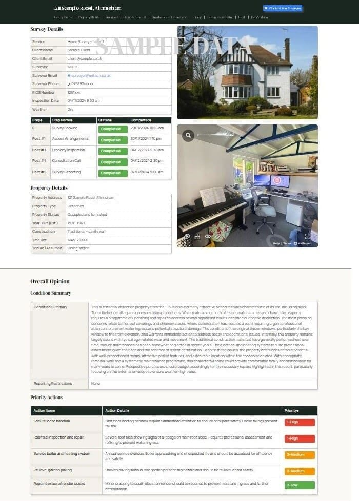
A Drone Roof Survey provides a detailed aerial inspection of a property’s roof using a camera-equipped drone. It covers the main roof covering, chimneys, guttering, flashing, and associated features, and is carried out without the need for scaffolding or direct roof access.
What is a Drone Roof Survey?
The survey uses a drone with a high-resolution camera to capture detailed images of roof surfaces and features from multiple angles. The imagery is reviewed by a qualified surveyor, who prepares a written report identifying defects and recommending any action required.
Issues that can be identified include:
- Damaged, slipped, or missing tiles or slates
- Deteriorated flashing around chimneys and junctions
- Blocked or damaged guttering and downpipes
- Cracked or deteriorated chimney stacks and pots
- Defective ridge tiles or mortar
- Signs of structural movement or sagging
- Moss, vegetation, or debris accumulation
- Damage to flat roof coverings
- Condition of roof windows and dormers
What’s Included
- Full aerial inspection of all roof surfaces and features
- High-resolution photography from multiple angles
- 4K video footage where relevant
- Detailed written report with annotated images identifying areas of concern
- Recommendations for repair or maintenance where defects are found
- Digital copies of all imagery
- Follow-up discussion to go through the findings
Thermal imaging assessment is available as an optional add-on to identify heat loss or moisture-related issues.
The Survey Process
- Initial discussion to understand your requirements
- Pre-flight planning, risk assessment, and weather check
- On-site survey carried out by a CAA-licensed drone pilot and qualified surveyor
- Imagery reviewed and report prepared
- Report with annotated images delivered within 2–3 working days
The drone flight typically takes 30–60 minutes. No scaffolding or roof access is required.
When is a Roof Survey Appropriate?
A roof survey is worth considering before purchasing a property where the roof condition is uncertain, where a standard home survey has identified potential roof issues requiring closer inspection, or where an owner wants to assess the condition of their roof for maintenance or insurance purposes. It can be commissioned as a standalone service or alongside any of our RICS Home Surveys.
Professional Qualifications
Our drone surveys are carried out by CAA-licensed pilots with commercial permissions. Survey interpretation is carried out by qualified building surveyors who are members of the Royal Institution of Chartered Surveyors (RICS), with knowledge of roofing issues common across Cheshire and Greater Manchester.